
Fifteen years ago, I wrote a piece for the OnBunkerHill blog about a wonderful pile of dirt, specifically, an earthen contour as it rose above a parking lot at the northwest corner of Second and Hill Streets:

Alas, that particular plot of land and its pile of dirt is not long for this world.

It’s all being removed, and remade. Interesting fragments of the old area shall disappear, for example—one of the remaining pieces of Preredevelopment Bunker Hill—this bit of retaining wall that once shored up 419-21 West Second Street:

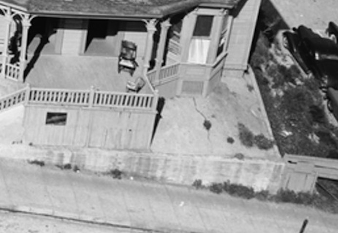


Won’t be there much longer, though. Here’s a piece of machinery removing that telephone pole, in anticipation of the vaster block-demolishing.

You may be familiar with Sunshine, Bunker Hill’s beloved palm elder—

—she too has been removed from the landscape, ostensibly to be replanted…somewhere.
And so it goes, all soon to be flattened.
The question being, what’s replacing our parking-lot-of-the-past?
According to the CRA, once upon a time, the parcel bounded by Second, Hill, First and Olive was destined to become an “office complex.”


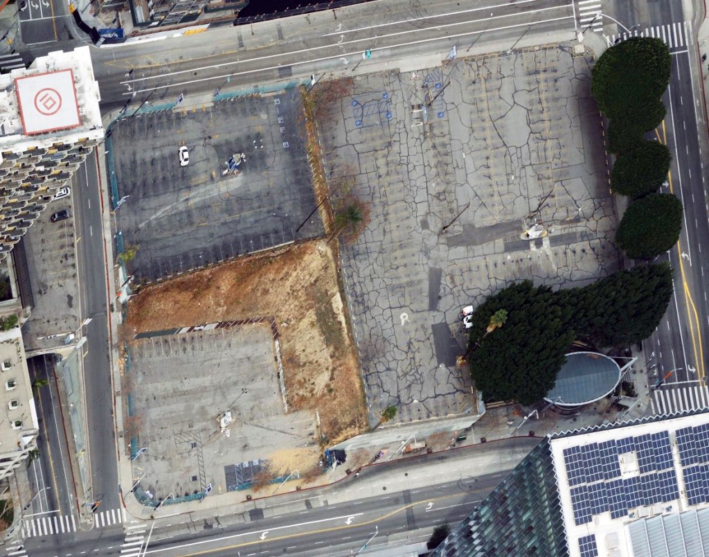
The block has, of course, remained a parking lot since the 1950s, with the early-90s addition of a metro stop at its northeast corner—
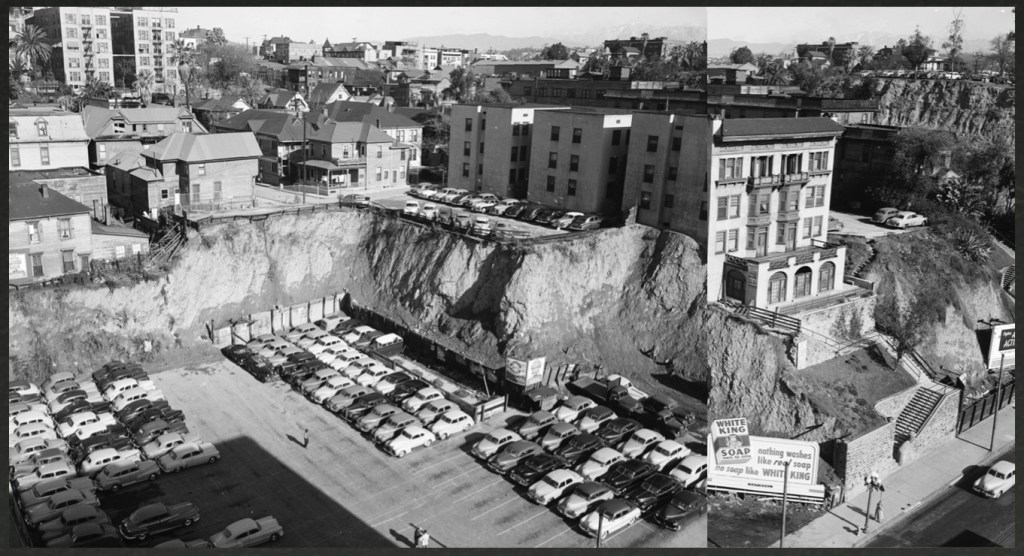
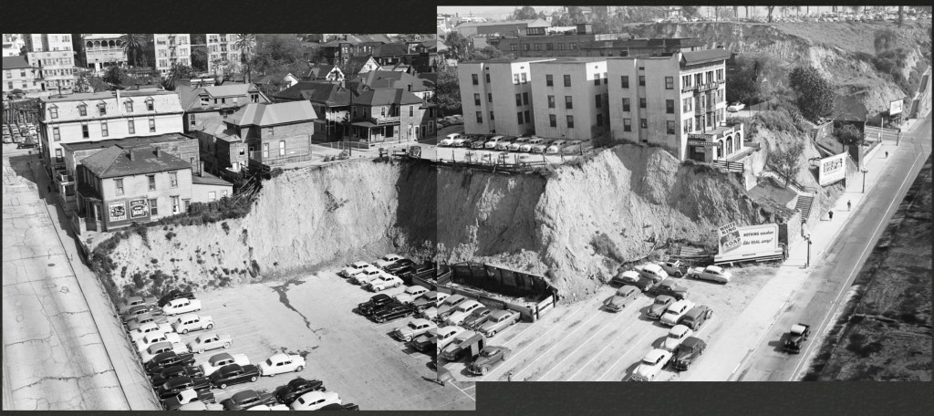
Just for kicks, here’s that block by air in 1941:

Anyway, the northern half(ish) of the block, AKA Parcel W2, with the Metro stop and trees, is owned by the County. The southern part, W1, where lies our dirtpatch, is ostensibly owned by the Times. Since the Times is basically defunct, no telling what’s going on with that.

And so, our wee bit of vintage Hill topography is going the way of this:

Behold, the expansion of the Colburn, designed by Frank Gehry, scheduled to open in 2027. You may read more about it here and here and here and here.
And so, as a way of wrapping up what I began writing back in 2008, some pictures of good ol’ Second and Hill.


Of course, if you’re really hankering for old Bunker Hill topography, you can go hang out at the retaining walls and former Clay Street contour two blocks south. Still, I’d advise you make a detour to watch some of the Second and Hill demolition, to be able to say you Saw It When.

Say it ain’t so!!??
LikeLiked by 1 person
We few who remember must not forget, for no one else will.
LikeLiked by 1 person
That’s just sad.
LikeLike